

Palm Springs reigns supreme among desert hiking cities
Palm Springs reigns supreme among desert hiking cities
Make a case for Tucson, Las Vegas, Phoenix and El Paso, but it's hard to beat the Coachella Valley with its many trail options.

Go ahead! Rate ‘em. I dare you!
Which Southwest Desert metropolis has the best and most convenient hiking trails?
Choices are: A) Palm Springs; B) Phoenix; C) Las Vegas; D) Tucson; E) El Paso.
Someone is voting for Palm Springs.


I’m torn between Palm Springs and Tucson, followed by Phoenix, Las Vegas and El Paso.
Palm Springs and Tucson have hiking equal to or better than any big American metro area.
If forced to choose, I pick Palm Springs. The tram up the lower slopes of 10,834-foot Mount San Jacinto puts the Coachella Valley in a league of its own.

From the lower tram station you can drive south, and then east, to any number of valley trailheads convenient to the valley’s other cities. Above rise the San Jacinto and Santa Rosa ranges and the Bureau of Land Management national monument that protects them.
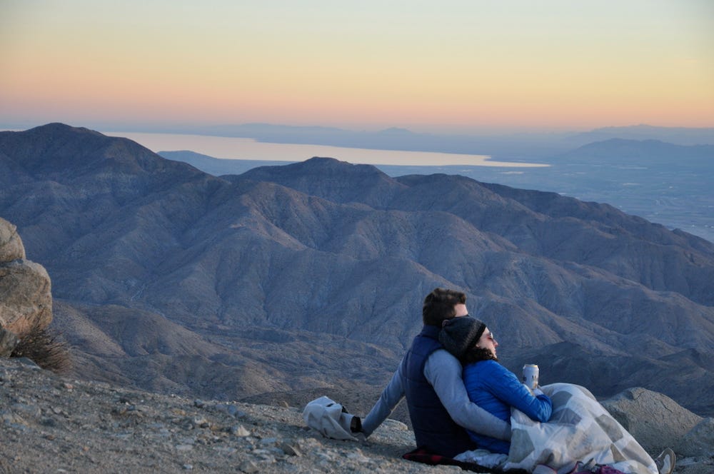
Drive a bit higher to the south and you’re in the pines, while Joshua Tree National Park (photo of line of hikers and sunset) flanks the Coachella Valley to the north.
The BLM’s Mecca Hills (photo with ladder) lie to the east, while 11,499-foot Mount San Gorgonio and the San Bernardino National Forest dominate to the west. The Pacific Crest National Scenic Trail even passes by not far west of Palm Springs and is accessible from the Wildlands Conservancy’s Whitewater Preserve (photo with water).
Palm Springs area has a pretty tough package to beat.
The summer heat affects each of the desert metros, but the Palm Springs Tram climbs better into a cool zone than driving or hiking does in the others.
You don’t get gushing, clear, cool water streams like northern metros have nearby, but there is enough surface water from springs to provide for a mix of plants and animals. A number of non-profit landscape preserves and tribal sites in the Palm Springs area also welcome hikers.
More on California’s Mojave Desert:
